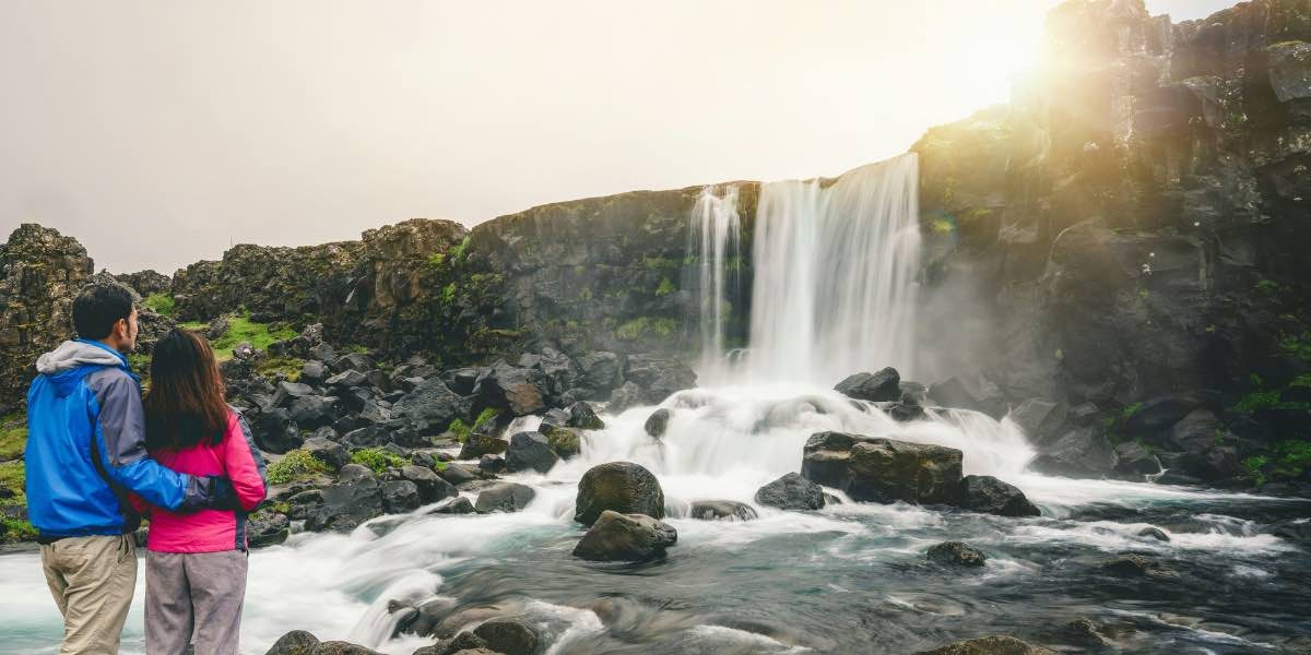
Exploring Colorado’s waterfalls offers a seasonal opportunity to experience a wide variety of natural water features shaped by geography, elevation, and climate. With snowmelt feeding rivers and streams in the spring and early summer, waterfalls across the state become active and accessible through an established network of hiking trails. Many of these sites are within a reasonable drive of Denver, providing both short and extended options for those interested in moderate hiking and natural observation.
Colorado’s terrain—particularly along the Front Range and into the central mountains—includes numerous waterfall locations that reflect local hydrology and topography. Many falls are tucked into forested canyons, while others descend over open cliffs or through rock-strewn streambeds. Depending on the season, water levels vary, and the experience of each site can shift significantly from spring to fall.
Read also: Rocky Mountain National Park: Your Guide to Outdoor Adventures and Scenic Views
Which Waterfalls Near Denver Are Accessible by Trail?
Within two hours of Denver, several well-established waterfall hikes attract visitors during warmer months. One of the most accessible options is Boulder Falls, located just west of Boulder off Canyon Boulevard. The waterfall is approximately 70 feet high and sits within a shaded canyon. The trail is short—less than a quarter mile from the roadside parking area—and features a maintained path with interpretive signage. While swimming is not permitted here, the shaded seating areas make it a popular rest stop during day hikes.
Slightly farther south, Raleigh Peak Falls in the Pike National Forest is reached via the Buffalo Creek area. The hike is longer and less defined, requiring more advanced navigation skills, but the multi-tiered waterfall is fed by snowmelt and remains active through early summer. This area receives less foot traffic than more developed trails, and conditions may vary depending on recent rainfall or trail maintenance.
Maxwell Falls, near Evergreen, offers a moderately trafficked 4-mile loop with views of a cascade tucked into a pine forest. The falls themselves are modest in height, but the trail provides a mix of elevation gain and stream crossings, making it a common destination for hikers seeking a half-day outing. The area also includes dispersed picnic spots along the creek.
How Do Colorado’s Waterfalls Vary Seasonally?
Most Colorado waterfalls are influenced by snowpack levels and precipitation, especially those above 8,000 feet. In spring, runoff from melting snow increases water flow, which typically peaks between May and early July. During this time, falls such as Hanging Lake’s Bridal Veil Falls—located in Glenwood Canyon—reach their highest output. While the main attraction at Hanging Lake is the lake itself, the short extension to the waterfall offers visitors a chance to observe high-altitude hydrology during peak season.
By August, many seasonal streams diminish, particularly those without perennial springs. Some waterfalls remain active into September, especially in areas like Ouzel Falls in Rocky Mountain National Park, which is fed by North St. Vrain Creek. This trail, starting from the Wild Basin Trailhead near Allenspark, follows a gradual climb past multiple water features, including Calypso Cascades, before reaching the 40-foot Ouzel Falls.
In fall, reduced water flow and changing foliage can alter the appearance of these sites. Trail conditions improve as mud and runoff dry up, offering a quieter experience with fewer visitors. During winter, select falls such as Zapata Falls near the Great Sand Dunes National Park partially freeze, forming visible ice columns. The short, rocky hike to the falls requires walking through shallow water and navigating narrow canyon walls, making it suitable for well-prepared visitors.
Are There Waterfalls in Colorado Where Wading or Swimming May Occur?
While many of Colorado’s waterfalls are steep or set within protected areas where swimming is not advised, a few locations include shallow pools suitable for wading. Paradise Cove, also known as Guffey Gorge, is located southwest of Colorado Springs and includes a 20-foot waterfall that empties into a deep pool. Although swimming is permitted here, visitors should be aware that water temperatures remain low due to the spring-fed source, and high cliff walls present fall hazards. The short trail to the site includes posted safety guidelines and is typically monitored during peak season.
In contrast, Conundrum Hot Springs, located near Aspen, is a multi-day backpacking destination. While not a traditional waterfall site, the area includes a small cascade near the hot springs, and the water flow adds ambient noise and movement to the soaking pools. Because the site is remote and access is limited by permit, it receives lower traffic than front-range options.
Closer to Denver, Eldorado Canyon State Park includes several unnamed seasonal cascades along South Boulder Creek. While swimming is not permitted, visitors often wade in the creek’s shallows near picnic areas. The park’s geology, including steep canyon walls and dense rock formations, contributes to flash flooding risk during storms, making observation safer than immersion during periods of high flow.
What Factors Should Be Considered When Visiting Waterfalls in Colorado?
Access to waterfall trails requires planning due to changes in weather, elevation, and trail maintenance. High-altitude hikes—such as those to Bridal Veil Falls in Telluride—begin around 9,000 feet, and visitors may experience symptoms of altitude sickness without proper acclimatization. The trail to the 365-foot waterfall follows a steep jeep road and includes exposure to sun and shifting trail surfaces.
Trail safety includes awareness of loose rock, stream crossings, and potential encounters with wildlife. Bear activity is uncommon but present, especially in backcountry areas like Anderson Falls in the San Juan National Forest. Visitors are encouraged to follow posted guidelines, carry bear spray in remote areas, and avoid feeding wildlife. Water crossings near falls may be slippery or unstable, particularly after afternoon rainstorms.
During summer, thunderstorms often develop in the early afternoon. Areas near waterfalls and alpine lakes are especially vulnerable to lightning strikes. Trails such as those in Rocky Mountain National Park post weather advisories, and visitors are generally advised to begin hikes early in the day and descend before clouds build.
Read also: ‘Experience Jazz in the Park: Free Live Music Every Sunday
What Is the Long-Term Impact of Recreation on Waterfall Sites?
Ongoing visitation to waterfall areas has led to trail erosion, increased litter, and widening of footpaths near popular viewing points. At sites such as Fish Creek Falls in Steamboat Springs, footbridges and viewing platforms have been constructed to reduce direct contact with sensitive areas. Despite these efforts, high traffic during peak months has led to soil compaction and vegetation loss near trail edges.
Agencies managing these lands have implemented various strategies to reduce environmental impact. These include timed-entry permits (such as those required at Hanging Lake), parking restrictions, and seasonal trail closures. Educational signage along many waterfall trails promotes Leave No Trace principles, which include packing out all waste, remaining on marked paths, and respecting posted signs regarding swimming and wildlife.
By adhering to these practices, visitors contribute to the preservation of fragile ecosystems around waterfalls and help ensure that trail access remains viable for future use.


